Two methods, two different questions
Manual hammer tapping answers: is this specific tile sound?
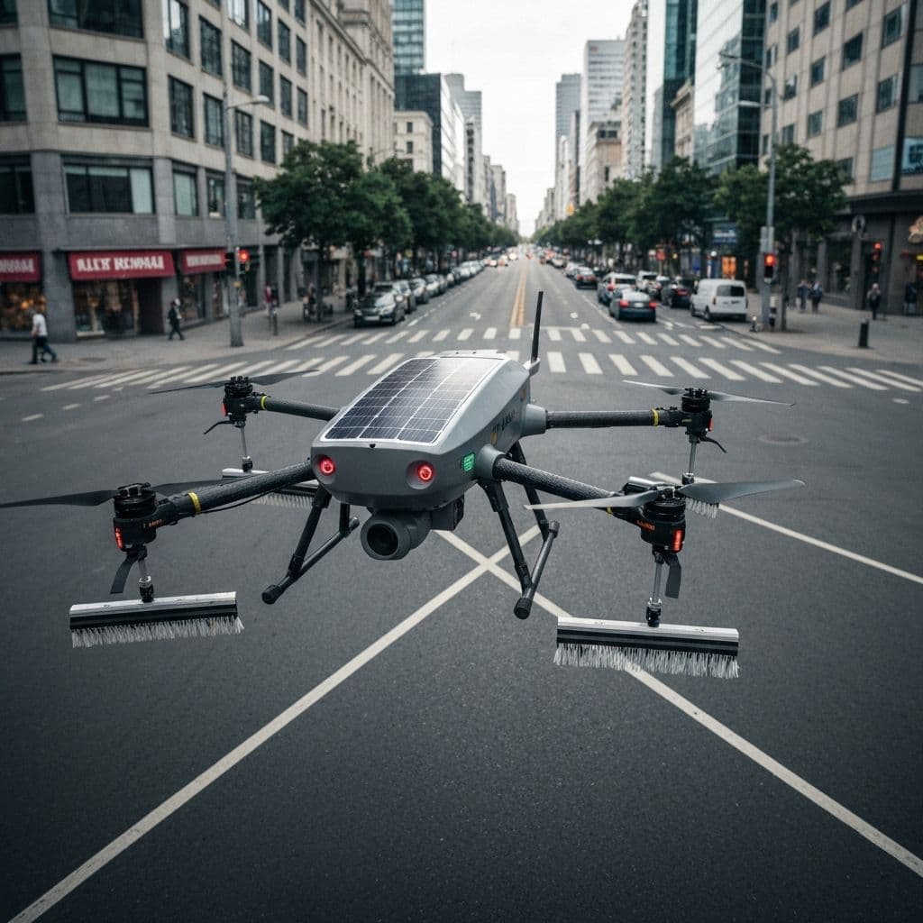
Drone survey answers: where on this building should we be looking?
Most of the argument between them comes from treating those as the same question. They are not, and the honest comparison has to keep them apart.
The eight dimensions
1. Coverage
Manual tapping covers what an operative can physically reach and strike within the working window — typically a sampled fraction of the elevation, concentrated on accessible bays. Drone survey covers the full elevation, including geometry that rope access reaches slowly or not at all: recessed light wells, projecting fins, upper parapets.
Advantage: drone, decisively.
2. Detection depth
Tapping tests the bond directly. Thermography infers it from thermal behaviour. Direct testing is stronger evidence at a point.
Advantage: manual.
3. Evidence quality
A manual survey typically produces a marked-up elevation drawing and a written record. A drone survey produces geolocated high-resolution imagery, paired thermal frames, and a defect schedule with coordinates and severity grading — reviewable by someone who was not on site.
Advantage: drone.
4. Risk
Tapping puts a person on a rope. Drone survey does not.
Advantage: drone, and this is the dimension where the gap is widest.
5. Cost
Market rates for manual tapping in Taiwan span an extraordinary range — from around NT$35/m² to over NT$1,500/m² depending on scope and method. Drone survey sits at the lower end for whole-building coverage, but a combined approach costs more than a drone pass alone.
Advantage: drone on coverage per unit cost; the picture narrows once verification is included.
6. Duration
A whole-building drone survey typically completes in one to three days. Scaffolding for a comparable manual survey takes one to two weeks to erect before any surveying begins.
Advantage: drone.
7. Repeatability
This is the dimension that changes what a survey is for.
A manual survey is a snapshot. Re-surveying next year with a different crew sampling different bays produces a second snapshot that is not straightforwardly comparable with the first.
A drone flight path can be re-flown. Same path, same altitude, same overlap — and the same wall can be compared against itself a year later. That is what makes it possible to talk about deterioration rate rather than deterioration presence.
Advantage: drone, and it is not close.
8. Regulatory standing
Taiwan's Building Act, Article 77, authorises qualified professionals to select the inspection method by professional judgement. Taipei City's facade safety diagnosis and declaration regulations specify the qualifications of diagnostic personnel; they do not mandate exhaustive manual tapping.
Internationally the direction is clearer still. Japan's Ministry of Land, Infrastructure and Transport formally recognised drone infrared survey as equivalent to conventional tapping in 2022. Singapore published TR 78:2020, the first technical standard for drone facade inspection. Hong Kong adopted drones under its Mandatory Building Inspection Scheme.
Advantage: neither, currently — but the direction of travel is one way.
What we actually recommend
Not one method. A sequence.
- Whole-building drone survey. Visible-light and thermal, full elevation, geolocated.
- AI classification across 13 defect types, producing a ranked list of suspect areas.
- Targeted manual verification of exactly those areas by a qualified inspector — who signs off.
The drone decides where to look. The person decides what it means. Neither step is redundant.
This is how the annual facade health check is structured, and why the report is signable for statutory filing.
The part that compounds
One survey tells you the current state. Two surveys, a year apart, on the same flight path, tell you the trajectory — and a trajectory is what a maintenance budget is actually built from.
If you want to establish that baseline, book an asset assessment or call +886-2-7733-7678.